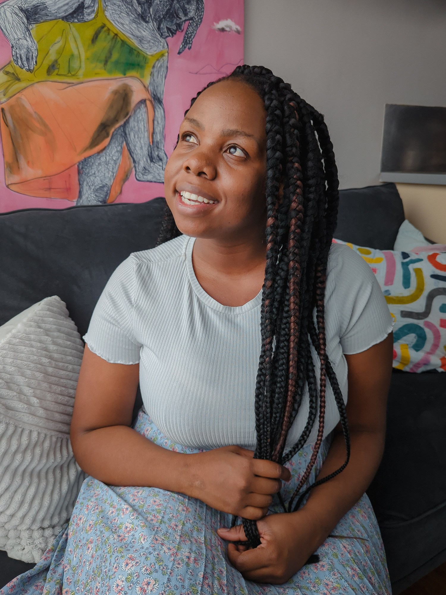
The older Sefala became, the more she peppered her father with questions about the visible racial segregation of their neighborhood: “Why is it like this?”
Now, at 28, she is helping do something about it. Alongside computer scientists Nyalleng Moorosi and Timnit Gebru at the nonprofit Distributed AI Research Institute (DAIR), which Gebru set up in 2021, she is deploying computer vision tools and satellite images to analyze the impacts of racial segregation in housing, with the ultimate hope that their work will help to reverse it.
“We still see previously marginalized communities’ lives not improving,” says Sefala. Though she was never alive during the apartheid regime, she has still been affected by its awful enduring legacy: “It’s just very unequal, very frustrating.”
In South Africa, the government census categorizes both wealthier suburbs and townships, a creation of apartheid and typically populated by Black people, as “formal residential neighborhoods.” That census is used to allocate public spending, and when they are lumped together with richer areas, townships are in effect hidden, disproportionately excluding the people living there from access to resources such as health services, education centers, and green spaces. This issue is commonly known as spatial apartheid.

HANNAH YOON
Sefala and her team have spent the last three years building a data set that maps out townships in order to study how neighborhoods are changing in terms of population and size. The hope is that it could help them see whether or not people’s lives in townships have improved since the legal dissolution of apartheid.
They did it by collecting millions of satellite images of all nine provinces in South Africa, and geospatial data from the government that shows the location of different neighborhoods and buildings across the country. Then they used all this data to train machine-learning models and build an AI system that can label specific areas as wealthy, non-wealthy, non-residential, or vacant land.
In 2021, they discovered that over 70% of South African land is vacant, and they saw how much less land is allocated to townships than to suburbs. It was a confirmation of the inequalities they had expected to see, but the staggering quantity of vacant land still took them aback, says Sefala.
Now they’re sharing the data set with researchers and public service institutions, including nonprofits and civic organizations working to identify land that could be used for public services and housing. DAIR plans to make the data set free and accessible on its website from February 2.


