Enhanced Processing Speed and New GPS Feature Boost Accuracy for Construction, Surveying, and Public Safety
by DRONELIFE Staff Writer Ian J. McNab
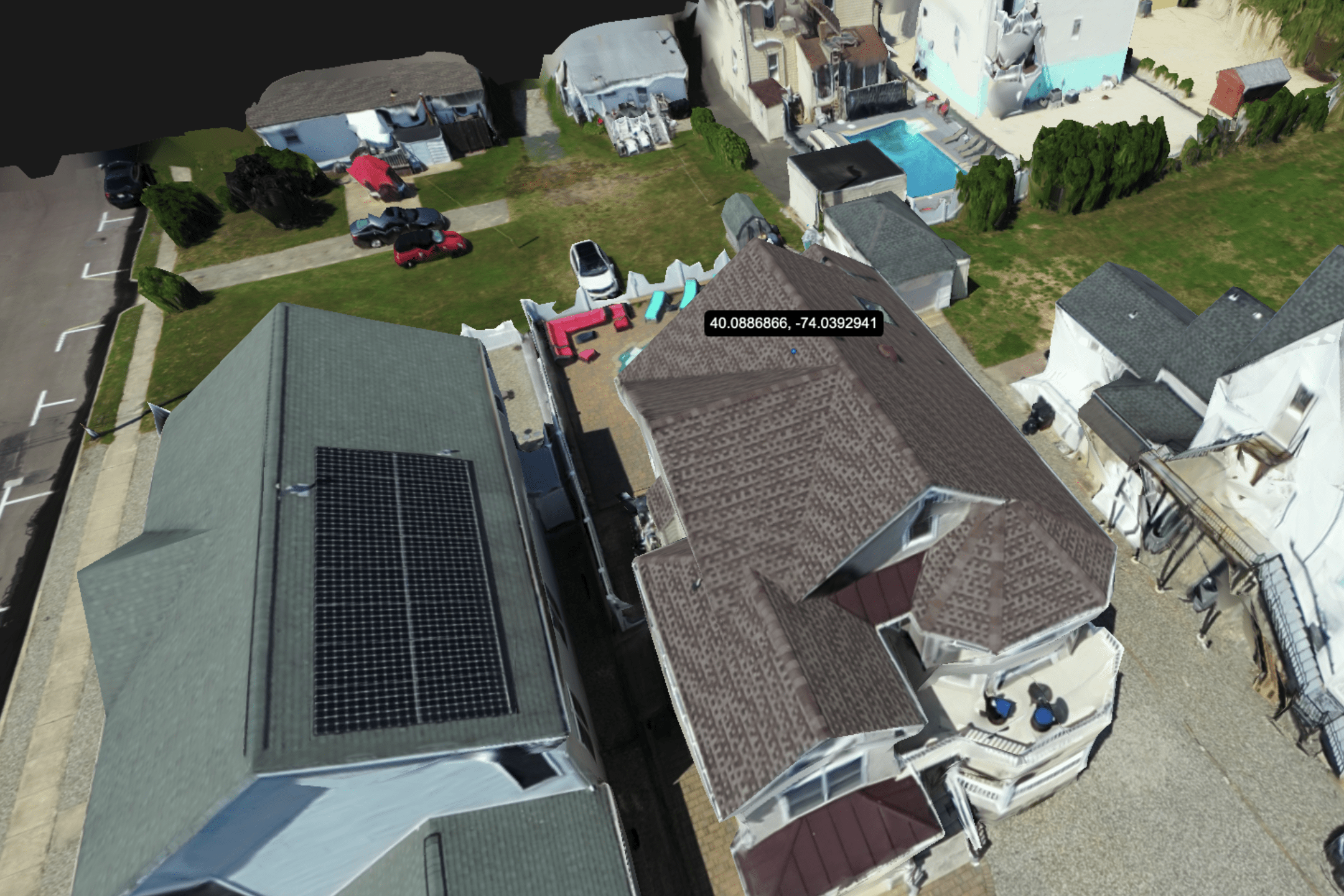
Telemetry software developer SkyeBrowse recently announced a major update to their flagship product, bringing them substantially closer to their stated goal of creating truly real-time 3D models using UAV assets. As part of these efforts, their processing speed has been increased 1.5x, allowing for significantly faster 3D modeling, and SkyeBrowse has added a new widely-requested GPS feature, allowing users to pinpoint specific locations.


A simple point-and-click method allows for finding exact coordinates with a high degree of accuracy- as little as .25 inches of error for premium users (with Lite users getting 2 inches of error, and freemium users around 6-12 inches). Designed for clients in the construction, surveying, and public safety spaces, where accurate measurements are key, SkyeBrowse’s GPS system is perfect for looping in off-site analysts and giving them the detailed location data they need to do their jobs correctly. All location data can be shared using a simple link that can be accessed from any device, including phones, laptops, and traditional desktop computers.
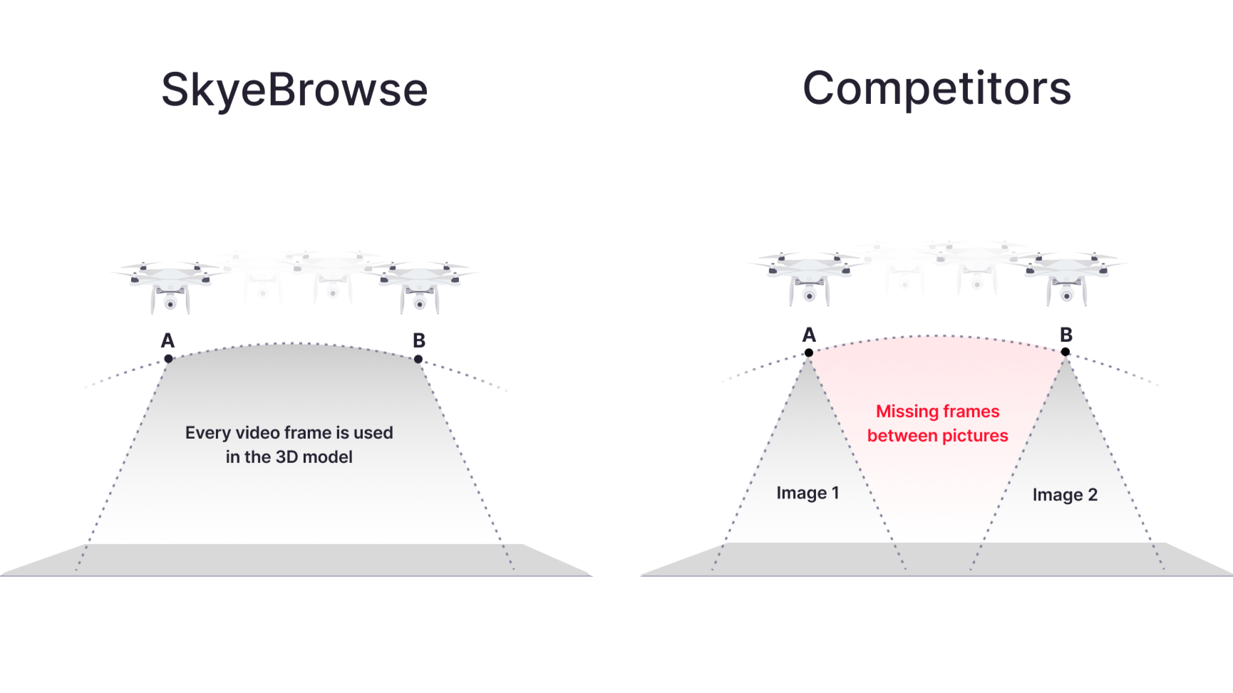
According to their press release, “Real-time 3D modeling is revolutionizing industries like public safety and emergency response. Imagine SWAT teams generating building interiors on entry, or firefighters mapping burning structures as they navigate. This technology enhances situational awareness and safety for first responders. In disaster response and urban planning, it enables immediate damage assessments, speeding up recovery efforts. For construction and real estate, it offers instant progress tracking and on-the-fly virtual tours. While real-time 3D modeling exists in laser scanners, they’re expensive, bulky, and require specialized training. They struggle in smoke-filled or reflective environments, limiting their use in dynamic situations. Our goal is to democratize this technology, making it accessible through smartphones and existing drone fleets. We’ve reduced processing times from hours to minutes, processing 100 times more data than traditional methods with our patented videogrammetry.”


More information on SkyeBrowse and their software solutions can be found here.
Read more:
Miriam McNabb is the Editor-in-Chief of DRONELIFE and CEO of JobForDrones, a professional drone services marketplace, and a fascinated observer of the emerging drone industry and the regulatory environment for drones. Miriam has penned over 3,000 articles focused on the commercial drone space and is an international speaker and recognized figure in the industry. Miriam has a degree from the University of Chicago and over 20 years of experience in high tech sales and marketing for new technologies.
For drone industry consulting or writing, Email Miriam.
TWITTER:@spaldingbarker
Subscribe to DroneLife here.


