
 New Lite Option Expands Access to Advanced Photogrammetry Features for Diverse Industries
by DRONELIFE Staff Writer Ian J. McNabb
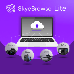
Texas-based mapping software developer Skyebrowse recently announced a new “Lite” tier for their flagship affordable photogrammetry software, making access to high-quality mapping more accessible for organizations than ever. While missing certain professional tools and access to long-term CJIS-compliant cloud storage, Skyebrowse Lite comes in at $49 a month and features a higher level of accuracy, higher priority processing, and a full year of cloud storage than their pay-per-model “freemium” tier.
Skyebrowse stands out for its workhorse approach in an increasingly crowded photogrammetry space, offering many of the same features faster and more affordably than the competition. Capable of accurately modeling indoor and outdoor spaces based on video footage from a drone or even with a smartphone, Skyebrowse creates comprehensive scans in as little as 1.5 minutes and can process them within a half hour.
Their innovative approach also results in faster processing times vs traditional photogrammetry competitors by harnessing already-collected flight path information via their integrated app to create the 3D model of the space, which is then overlaid with uploaded video to create speedy, yet detailed and accurate, 3D models.
Tailored for clients in public safety, Skyebrowse doesn’t claim to be “survey-grade”, but still has a wide range of applications in real estate, roofing, and construction. More information on their solutions is available here.
Read more:
Ian McNabb is a staff writer based in Boston, MA. His interests include geopolitics, emerging technologies, environmental sustainability, and Boston College sports.


